For players who want to create their own campaigns or set up their own corners of Antares to write about, Tim has put together a supplement containing all the relevant information. David Horobin then went to town in creating an excel spreadsheet to implement the data.
Updated: 1st July 2022 with a more detailed map in the document and explanation of the icohex/subhex numbering ranges.
Mapping Supplemental
Though short, the mapping supplement is over 50MB as it contains a number of detailed colour images of Antares and resources.
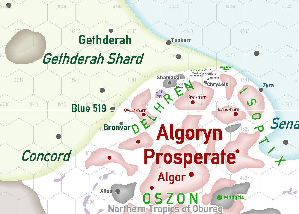
Icohex map of 7th Age Antares
The icohex system is explained in the supplemental. We provide this link to the main map so cartographers can locate their own hexes where they will.

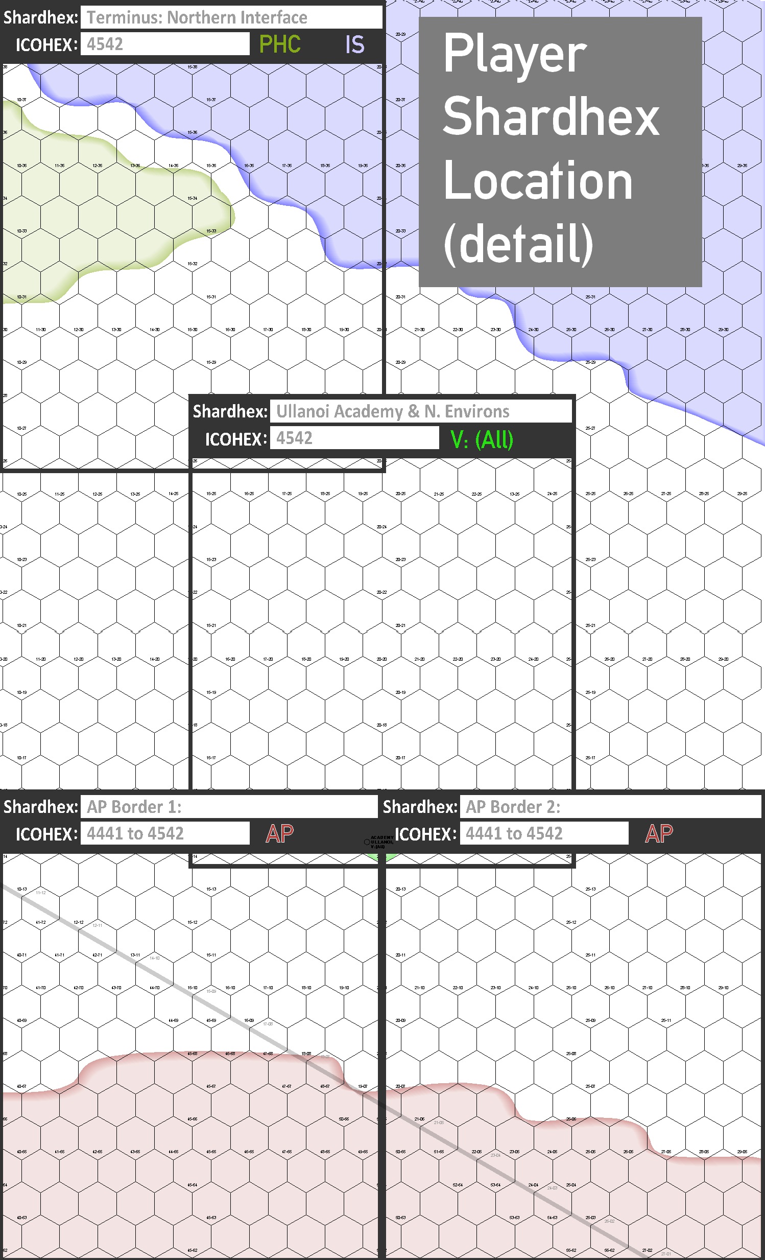
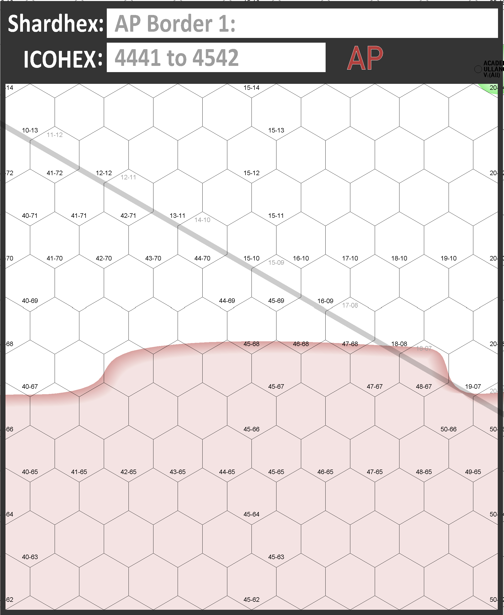
Downloadable Player Shardhexes
These are provided in the supplemental, above, but we also add them here as downloadable images files for personal use. To access the high-res files, click on the image and then on the slideshow, right click and select your browsers ‘Open image in a new Tab’ function.


Sample Shardhex Generator
David Horobin created a Shardhex generator in Excel that supports all the above. It may seem a little overwhelming, but all a player has to do is input the shardhex location, area of control and potential enemies in the yellow boxes on the ‘Data Entry’ Tab. After downloading this, you will have to ‘Enable Editing’ within your spreadsheet program/app to tailor it’s settings.

You must be logged in to post a comment.