A narrative scenario originally written for the Antares scenario competition, designed for 75-100 points per side.
The expedition mission on the L38TN exo planet was a success! The geological surveyor drones were able to locate the position of the artefact and it was just a matter of time before we could cross reference their data and start the excavation… unfortunately we didn’t take into account the Algoryn scouting force that showed up soon after the drones returned. I can’t let them have the location of the artefact, it would be a disaster if it ended in the wrong hands! With my last breath I’m hiding the surveyor drones hoping that you will be able to retrieve them before it’s too late. Please hurry…
+++++ Connection Failure: Transmission Interrupted +++++
Running the Game
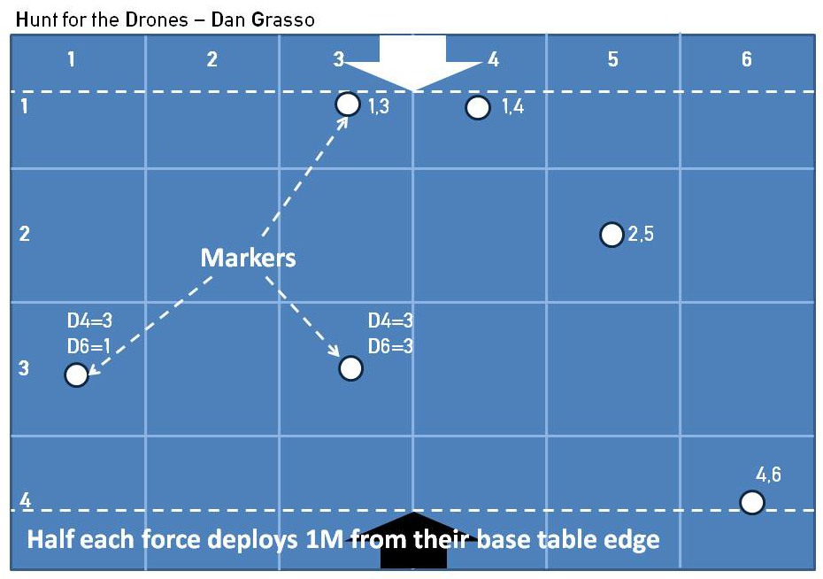
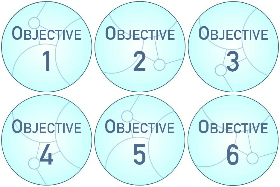
Six markers are needed to represent the possible locations of the survey drones (they can be tokens, pieces of paper…). Each marker should have a number from 1 to 6 on one of its faces [objective tokens provided below]. Three models to represent the surveyor drones are also required, such as spare buddy drones.
Since the location of the objectives is randomized the players will have to improvise: it might be wise to pick some fast units just in case!
Set Up
Set up terrain in the standard way as described in Playing the Game, then place the markers to represent to potential location of the surveyor drones.
To place the markers, randomise their location by rolling a 1D4 and a 1D6 using the map given below for reference. Place one random numbered marker in each area without looking at the number on it:
- Place the markers face down so that nobody knows the number written on the marker.
- If a second marker would end up in an area that already contains a marker, roll the dice again and generate another location.
- When placing the markers try putting them on a sensible piece of terrain, like on an ammo crate, under some rubble… they are supposed to have been hidden after all!
After all the markers are placed roll a D6 until you have 3 different numbers. make a record of these as they are the locations of the hidden surveyor drones matching the face-down markers/objective tokens just placed.
Deployment
Both armies deploy half their army on the table within one move (1M) distance of their base, long table edge. Remaining units can enter from the player’s own table edge from turn 1, or from either of the adjoining short side edges up to the half way mark from turn 2. Units entering in turn 2 must test to do so in the standard fashion as described in Playing the Game.

Objective
The winner is the player that controls most of the surveyor drones at the end of the game.
Game Duration
The game is played until six turns have elapsed. Then roll randomly to see if another turn is to be played as described in Playing the Game. Break points are ignored for this game.
Victory
Control more surveyor drones than your opponent or wipe him out: the drones cannot fall into the wrong hands!
Special Scenario Rules
Searching for the drones
When within 1″ of a marker, a non-beast unit can turn it over to reveal its number providing there isn’t an enemy unit also within 1” of the marker. This is not mandatory and can be done as part of any other action, forced or unforced (i.e. a player can choose to not reveal a marker nearby if he wishes so). If the number on the marker matches one of the three numbers recorded at the beginning then replace the marker with the surveyor drone model, otherwise simply discard the marker.
Geological survey drones
Once revealed, the survey drones should be regarded as carried objectives (see Playing the Game) but cannot be destroyed and a unit can only control a single surveyor drone at a time.
Surveyors can be revealed by probes but not carried by them.
The objective tokens attached (click on the image) are intended to be printed at around 300dpi.

You must be logged in to post a comment.